
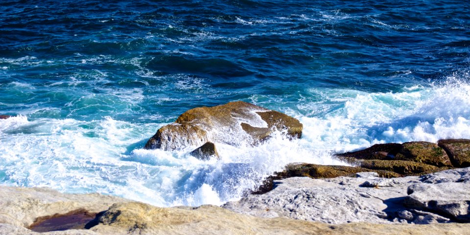
Every water sport eventually comes down to the same question, asked on the beach with the boat still on the roof or the wetsuit still in the bag: do we go? The answer is not a feeling. It comes from a handful of skills that can be learned in a season, a habit of checking the same sources every time, and the discipline to turn around and go for a walk instead when the numbers say no. This guide brings together the water-reading basics that apply to kayakers, paddleboarders, canoeists and swimmers alike: wind, current, tide, and the honest checklist for staying ashore.
Wind: the beginner’s real limit
Wind is the factor that matters most for anyone who sits or stands on the surface. Forecasts give it in kilometres per hour, knots or the Beaufort scale, and it helps to know all three. Force three is 12 to 19 kilometres per hour, about 7 to 10 knots: scattered whitecaps begin to appear on open water. Force four is 20 to 28 kilometres per hour, 11 to 16 knots: frequent whitecaps, and the upper limit for a beginner on sheltered water in a kayak or canoe. For a paddleboard or a swimmer, the practical limit sits lower, around 15 kilometres per hour, because of the exposed body and the difficulty of making headway.
Direction is read against the shoreline. An onshore wind pushes toward land and is forgiving. An offshore wind pushes away from land, feels deceptively gentle on the beach, and strengthens as we leave the shelter of the shore; it is responsible for more paddleboard and inflatable rescues than any other condition. A wind along the shore is neutral but creates a long fetch, the distance over which waves can build, so the far end of a lake in a lengthwise wind may have waves that the launch beach does not show.
We also look at the water itself. Dark ripples spreading across a calm surface mean a gust arriving. A line of whitecaps beyond a headland while the bay is flat means the bay is a lee, and that lee ends where the whitecaps begin.
Current: rivers, estuaries and the sea
Current is water on the move, and it is the hazard beginners underestimate most, because flat water can flow fast. A river at two kilometres per hour looks lazy and will still carry a swimmer or a swamped boat past every exit point before they realise. Current is strongest on the outside of bends and in the deepest channel, weakest on the inside of bends and in eddies behind obstacles.
In estuaries and coastal channels, current is driven by the tide and reverses direction roughly every six hours. It is strongest midway between high and low water and near zero at the turn, called slack water. Narrow gaps between islands and the ends of headlands accelerate the flow, sometimes to speeds no paddler can match. River mouths add a further problem: an outgoing river meeting an incoming wind builds steep, close waves in a short space. As a rule, a beginner does not paddle within a kilometre of a river mouth or a tidal narrows on the sea.
Tide tables in five minutes
A tide table lists, for a named port, the times and heights of high and low water for each day. Heights are in metres above chart datum, a reference level close to the lowest tide. Three things come from that table. The first is timing: we launch and land when the beach is usable, and we plan to be moving around slack water if there is any tidal stream nearby. The second is range: a large difference between the high and low figures means strong streams and a beach that changes shape dramatically. Spring tides, which occur around the full and new moon, have the largest range; neap tides, a week later, the smallest. The third is trend: a rising tide covers rocks, sandbars and the place we left the boat; a falling tide uncovers them and can strand us far from the water.
The rule of twelfths is the pocket calculation. Over the six hours between low and high water, the tide rises one twelfth of the range in the first hour, two in the second, three in the third and the fourth, two in the fifth and one in the sixth. Most of the movement, and most of the stream, is in the middle two hours. Tables are published for standard ports, with corrections for smaller places nearby. Learning to find the right port and apply the correction is the whole of the skill, and a beginner learns it in an afternoon.
Water temperature and the hidden clock
Air temperature is what we feel on the beach and is almost irrelevant. Water temperature decides what we wear and how long we can survive an unplanned swim. Below 15 degrees Celsius, cold water shock is likely and immersion protection, a wetsuit or a drysuit, is essential. Below 10 degrees, even strong swimmers lose useful hand function within ten to fifteen minutes. Lakes in spring are dangerous precisely because the sun is warm and the water, still fed by snowmelt, is not. Sea temperatures lag the seasons by two months: the sea is coldest in March and warmest in September on most northern coasts. We check the figure and dress for it.
The go or no-go checklist
- Wind now and for the next six hours: speed under our limit, direction onshore or along the shore, no strengthening trend.
- Tide: times, range and slack water noted; a plan that keeps us off tidal streams and away from narrows and river mouths.
- Swell and waves: small enough to land through on every beach we might use, not just the launch site.
- Water temperature: clothing matched to the water, not the air.
- Visibility and daylight: fog, rain and sunset times; the trip finished at least an hour before dark.
- People: a partner, a plan left ashore with a return time, a phone in a waterproof case on the body.
Each item is a yes or a no. One no is enough, and the no is not a failure. Turning around at the beach is the skill that distinguishes people who have paddled for thirty years from people who stopped after one bad afternoon.
Learning to say no
The hardest days are the marginal ones: the forecast is on the edge, the drive was long, and the water looks fine from the car park. We have found that a simple habit helps. We decide the limits at home, in writing, before we see the water, and we treat those limits as rules rather than guidelines. A day ashore is never wasted. We walk the coast and watch what the wind does at the headland. We time the stream through the narrows. We read the water from land, which is the only place it can be read without risk, and next time we know a little more.